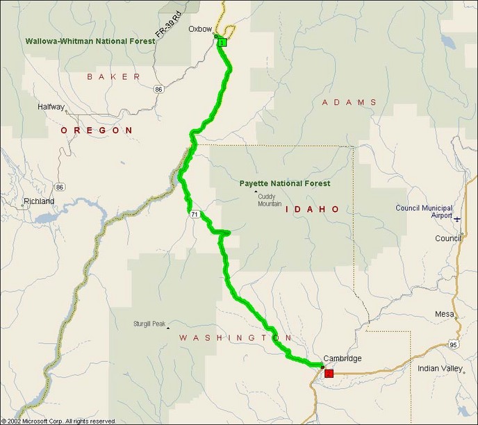
This highway runs along the Snake River south of the Hells Canyon Recreation Area for some 15 miles, after which it heads southeast to Cambridge.
Before the road splits away from the river, you get to experience a few miles of complete twisty bliss south of the Brownlee Dam where the impounded waters of the Brownlee Reservoir force the water up onto the hillsides and thus this road has to follow the hillsides perfectly.
- Road Name: Oregon/Idaho Route 71 (Copperfield, OR-Cambridge, ID)
- Counties: Baker, Washington(ID)
- Length: 40
- Towns: Brownlee (OR), Cambridge (ID), Copperfield (OR)
Overview Map:
Google Map: